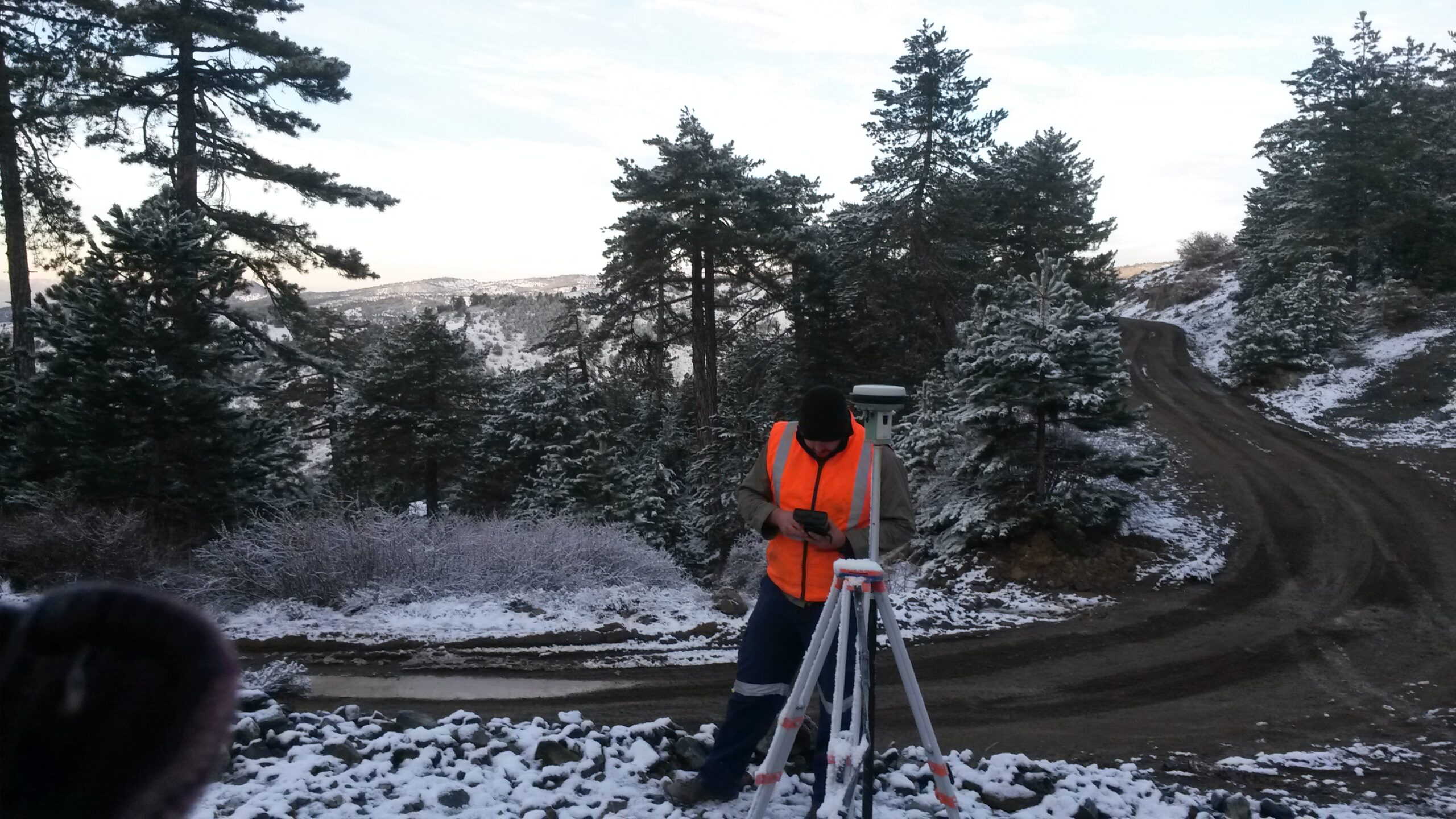
Geophysics and Surveying Services
Gravity
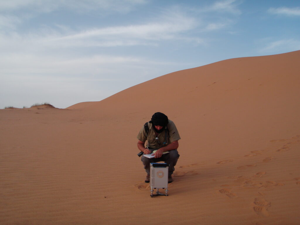
Gravity measurements detect changes in the earth’s gravitational field caused by local changes in the density of the surface or subsurface rock. For the method to be useful, a density contrast of exploration interest must occur in the rocks. Local perturbations or anomalies can be attributed to lateral variations in the densities of subsurface materials, (e.g. salt domes, buried channels, caves, cavities, variations in top of rock, mines and tunnels, undulations in the basement topography).
Applications for gravity in Mineral Exploration
- Identifies anomalous excess mass: Massive sulphides, iron ore, chromite ore etc.
- Identifies anomalous mass deficit: Coal, lignite, placer, karst, etc.
- Regional geological mapping (Sedimentary basin, batholith, diaper, karst, graben etc.)
- Mapping of coal beds within sedimentary basins
- Mapping of subsurface cavities
- Mapping of groundwater
- Significant sensitivity to bedrock topography (may be resolved with electrical imaging survey)
- Detection of buried (excess) mass superimposed on regional gradient
- Residual Bouguer anomaly grids
- Coloured elevation contour maps
- Residual Bouguer First Vertical Derivative contour maps
- Terrain correction processing
- 2D & 3D modelling and interpretation
Magnetics
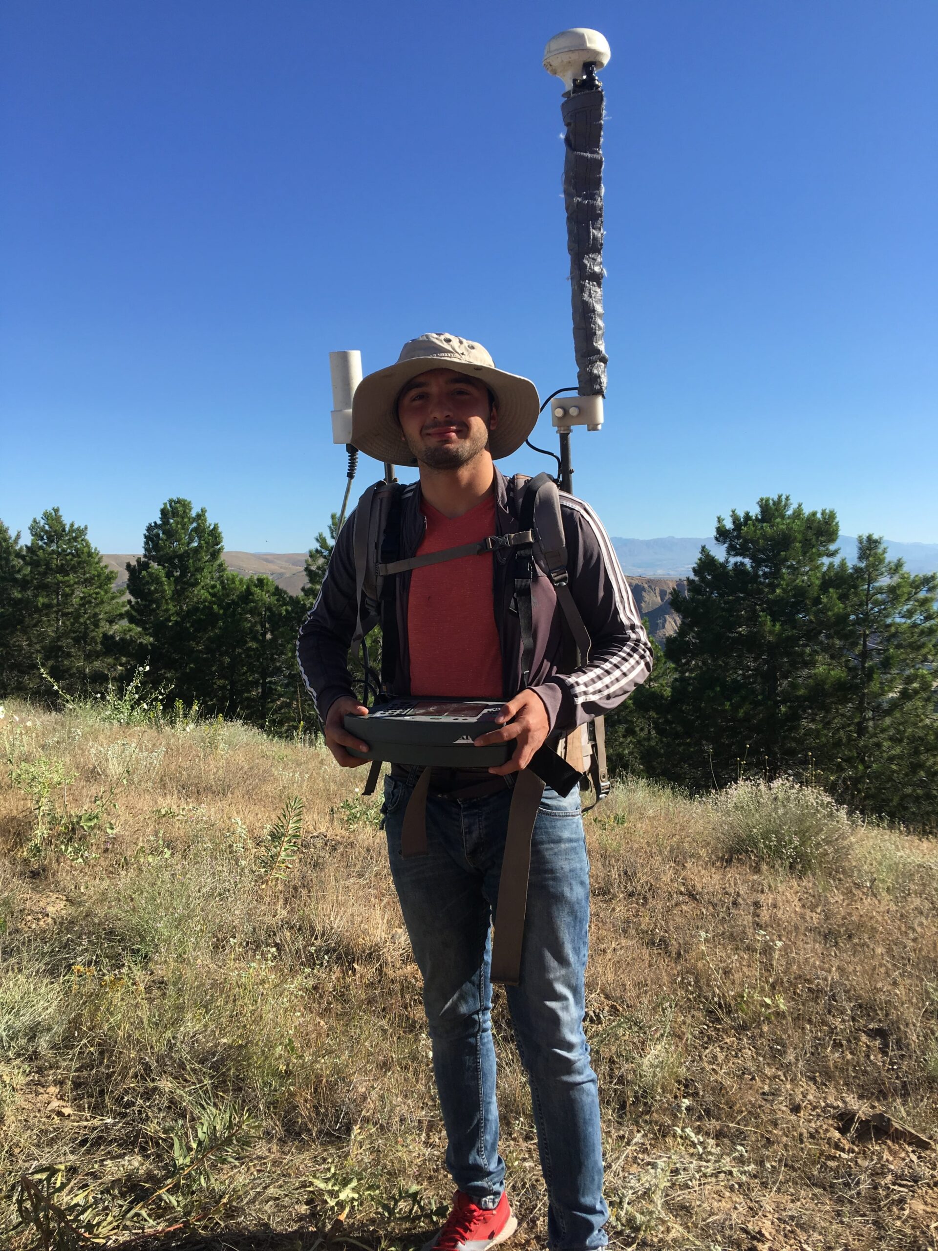
Airborne magnetic surveys map the variation of the Earth’s magnetic field strength caused by magnetic minerals in the Earth’s upper crust. The Earth’s magnetic field is directly influenced by geological structures, geological composition and magnetic minerals, most often due to changes in the percentage of magnetite in the rock. Developments in instrumentation and data processing techniques can map sedimentary basin structure and lithology, geological faults, lineaments and fracture systems, and magnetic anomaly targets.
Applications for magnetics in Mineral Exploration
- Structural mapping (faults, fractures, shear zones, folds)
- Mapping geological lithology
- Geothermal resource mapping
- Iron and mineral magnetic detection
- Localization and characterization of kimberlites, asbestos and placers.
- Mapping of old mine sites
- Depth to bedrock to determine thickness of sedimentary section, overburden, etc.
- Useful complementary data enhances interpretation of other geophysical surveys
- Inexpensive equipment and straight forward survey procedures
- High resolution and cost-effective for detail or reconnaissance surveys
AGMJ Supplied Products
- Colour contours and/or profiles
- Total magnetic field
- Vertical Gradient
- Second Derivative
- Tilt Derivative
- Analytical Signal
- 2D & 3D modelling and interpretation
UAV surveying
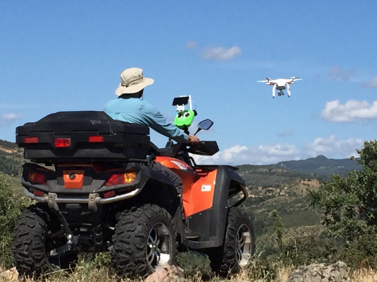
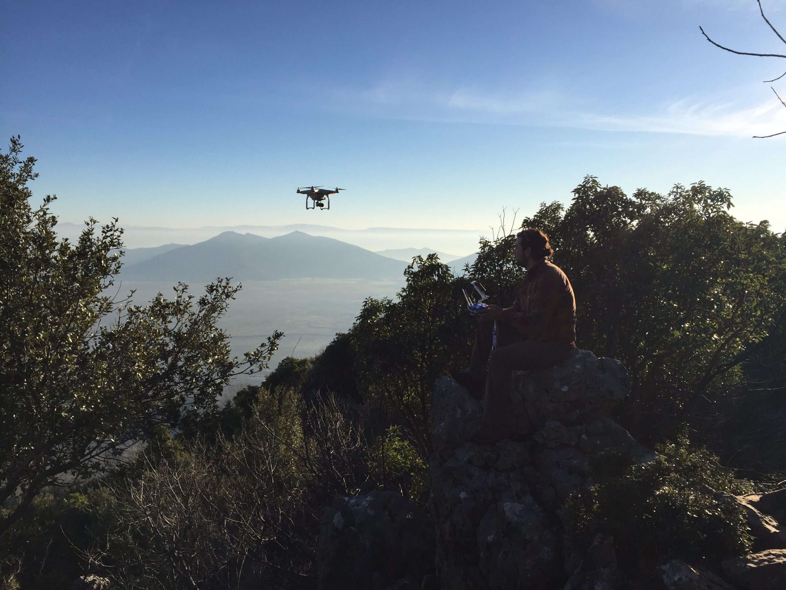
High resolution aerial photography and photogrammetry is a valuable tool in mine planning. The use of a UAV in mining and resources exploration has become a popular tool. At a fraction of the cost of a conventional fixed wing aircraft, UAV’s can provide services in areas sometimes conventional aircrafts cannot go.
The ability to drive to a site, deploy the UAV within half an hour and the next day have processed ortho-rectified photography provides clients with the flexibility to manage a site more effectively. Full 3D terrain maps and contour maps assist with mine planning, bulk earthworks assessment and accurate DTM (Digital Terrain Models) .
From oblique photography to geo-referenced orthomosaic maps and digital elevation models we deliver results with high spatial data accuracy. Servicing a wide range of industry and government needs AGMJ is able to capture data without interrupting site operations. This is especially relevant for mine surveying where we are able to operate from the perimeter of a pit, capturing valuable data without exposing surveyors to site hazards.
AGMJ Supplied Products
- Geo-referenced Ortho-Mosaics
- Digital Surface Maps
- Digital Elevation Models
- Stockpile Calculations and Pit Volumes
- Photogrammetry


RTK & PPK Surveys
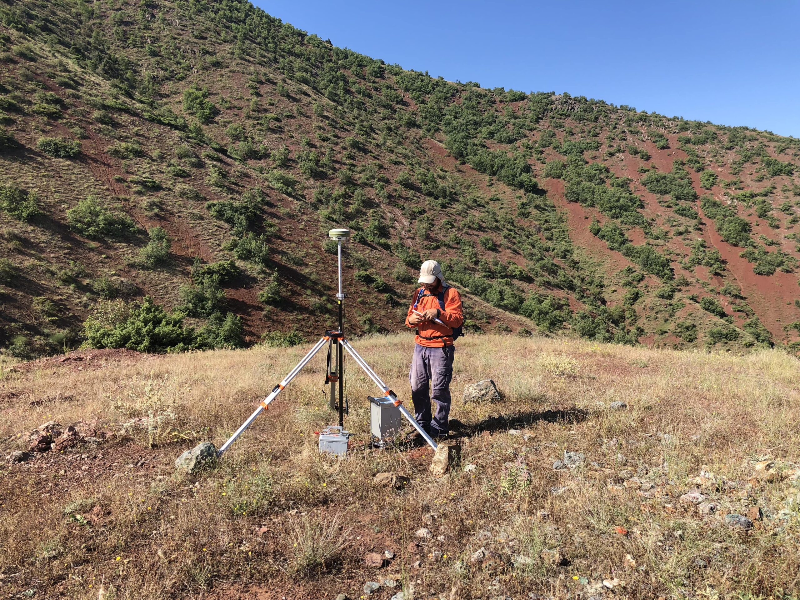
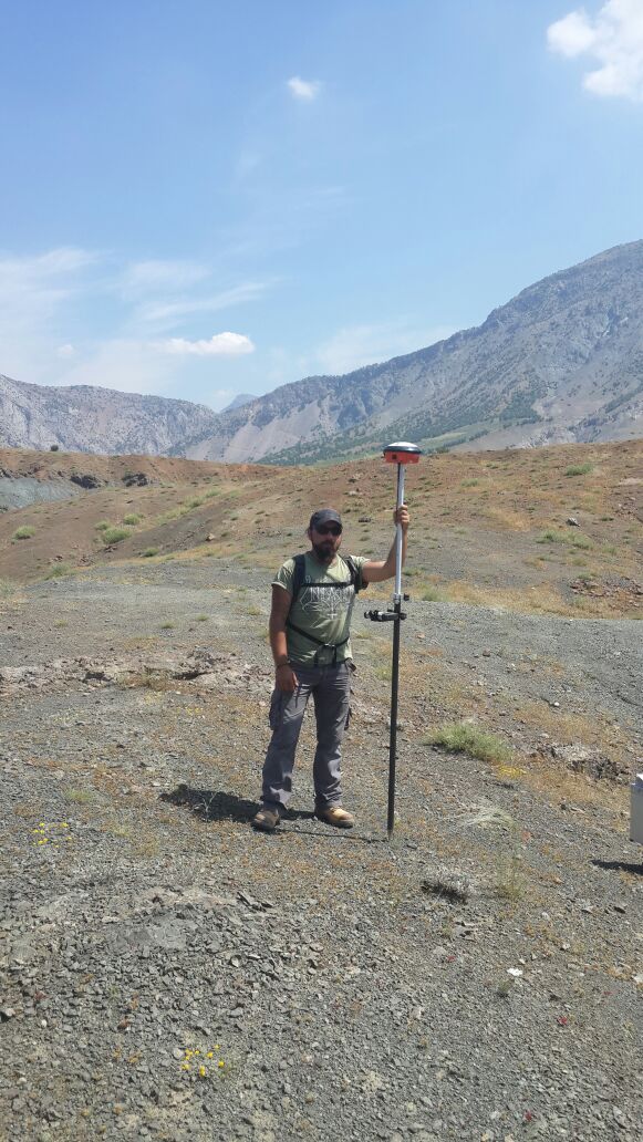
AGMJ is able to provide clients with a comprehensive range of geodetic survey service. AGMJ owns and operates GPS receivers from some of the top name brands in the world’s (Leica Geosystems, Navcom, Hi-Target and Trimble).
DGPS Survey Services Offered
- GPS geodetic control for mine site areas and tenement boundaries
- Ground Control Points for aerial photography
- Air and ground borne RTK and PPK logging
- Drill collar pickups and setouts
- Tenement pegging
